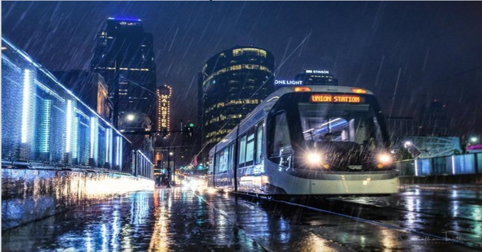
Over the course of the past three weeks, strong winds and dark clouds have made their way over to the East as harsh storms have slammed the South causing severe conditions including heavy rains and unseasonably cold temperatures.
The mid Mississippi Valley has been one of the victims to this never-ending terrible weather. More thunderstorms are headed for the valley along with extremely high and dangerous winds. A few tornadoes and some hail is a great possibility as well for the region as more data is being collected.
According to AccuWeather, “Though the rain has ended in the central U.S., rivers will continue to rise this week in many areas, threatening lives and property. Torrential rainfall Friday through Sunday triggered destructive flooding from the Ozarks into the mid-Mississippi Valley, with some river crests smashing records that had stood for over 100 years,” said reporters from the Weather Channel.
Hopefully, the pleasant cool breezes and warm sunlight will increase in the coming weeks. For now, however, the weather continues to be on and off. One week the weather hits the high 70s with the perfect amount of sunshine and breezes. Then the next week the temperature drastically drops. From 70 degrees to 50 and even 40. In other states more in the Southern region such as Western Kansas and Colorado, instead of pools of water forming in streets, winter decided to come back in full force.
According to USA Today, “Heavy snow was the story over the weekend and early Monday in portions of the Rockies and Plains. Over a foot of snow hit western Kansas on Sunday, forcing the closure of I-70 west of Salina, Kan., to the Colorado border. One location in the San Gabriel National Forest in Colorado picked up 39 inches of snow from the weekend storm, the National Weather Service said. Winter storm watches and warnings remained in effect Monday for parts of Nebraska, South Dakota, Minnesota and Wisconsin. Anywhere from 1-3 inches was possible before the storm winds down Monday evening.”
Another poor victim of the weather this season is Kansas. Wichita Kansas will be seeing more of the same icy roads in the morning, making it hazardous to drive if not cautious.
CNN previously stated, “The National Weather Service in Wichita, Kansas, strongly discourages travel, saying, "Significant amounts of ice accumulations will make travel dangerous or impossible" and that "commerce will likely be significantly impacted. Kansas City will see significant icing through the morning on Sunday, changing over to rain early in the afternoon. Moving the game back seven hours should alleviate the danger of driving on icy roads.”
Lastly, thunderstorms will continue to make way to the East Coast with violent gusts of wind and torrential rain storms forming puddles on main roads, causing some to even close.
The Weather Channel states, “A strong cold front, with a deepening southward dip in the jet stream, will move from the Great Lakes and Ohio Valley to the Eastern Seaboard by late Sunday. This will create lifting of warm, moist air, producing showers and thunderstorms.
The result will be the progression of thunderstorms eastward. Some thunderstorms will turn severe and will produce large hail and damaging winds.”
The most important thing one can do during these times is to stay safe. It’s vital to check your battery supplies and flashlights in case the power goes out. In the meantime, make sure to have your rainboots and jacket on stand-by.


