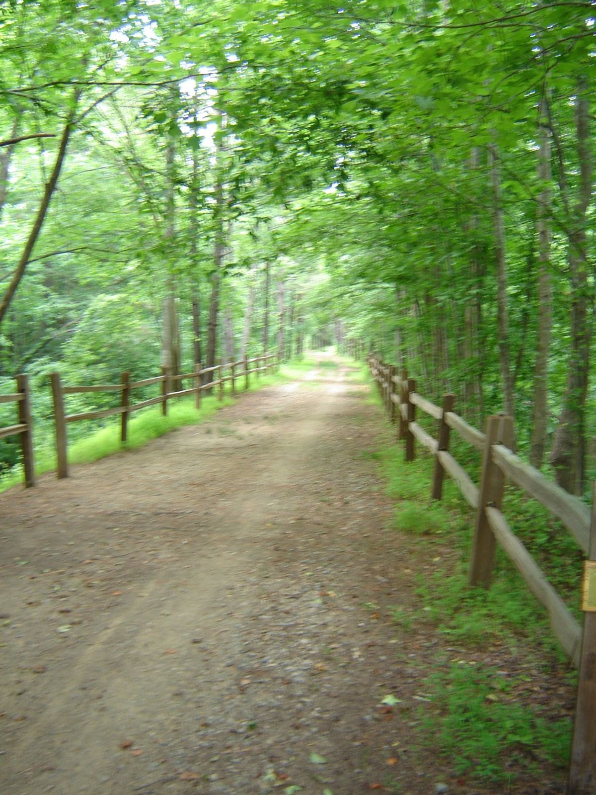
Have you ever seen cyclists on the road and wondered what kind of route they could possibly be doing through the city, or on busy roads through town? Or people walking on the roadside with hiking boots and backpacks, seeming to be heading somewhere? Well, if you have seen this, there may be a chance these travelers are following the East Coast Greenway.
The Greenway is a 3000-mile trail that connects the Canadian border at Calais, Maine, with Key West, Florida. The website calls it "the nation’s most ambitious long-distance urban trail". Tom Horton, in an article for the Bay Journal, called it, "a hopeful counterweight to the interstate highway system."
The route that runs through Maryland is about 166 miles, starting in Elkton and passing through Harford County. The trail then connects to the Torrey C. Brown Rail Trail (aka the NCR Trail) in Baltimore County, and then routes south through Baltimore and on to Washington D.C.
Similar to the Appalachian Trail, a 2160-mile continuous trail from Georgia to Maine, the Greenway is essentially a way of connecting the East Coast by non-motorized travel routes. However, the Greenway is at this point only 30% off-road, though the organization's goal is to be 100% off-road. It uses existing trails, like Baltimore's Gwynn Falls and Jones Falls Trails, whenever possible to wind its way through urban areas.
There are signs marking the trail as it heads through Baltimore, but one would be advised to use the map on the website, because the trail utilizes city streets and may be confusing on bike. The Greenway enters the city on Charles Street before cutting to Roland Ave and then going through Druid Hill Park on the Jones Falls Trail. Interestingly, it weaves under the Jones Falls Expressway, I-83, south to the downtown area and then leaves the city on the Gwynn Falls Trail.


