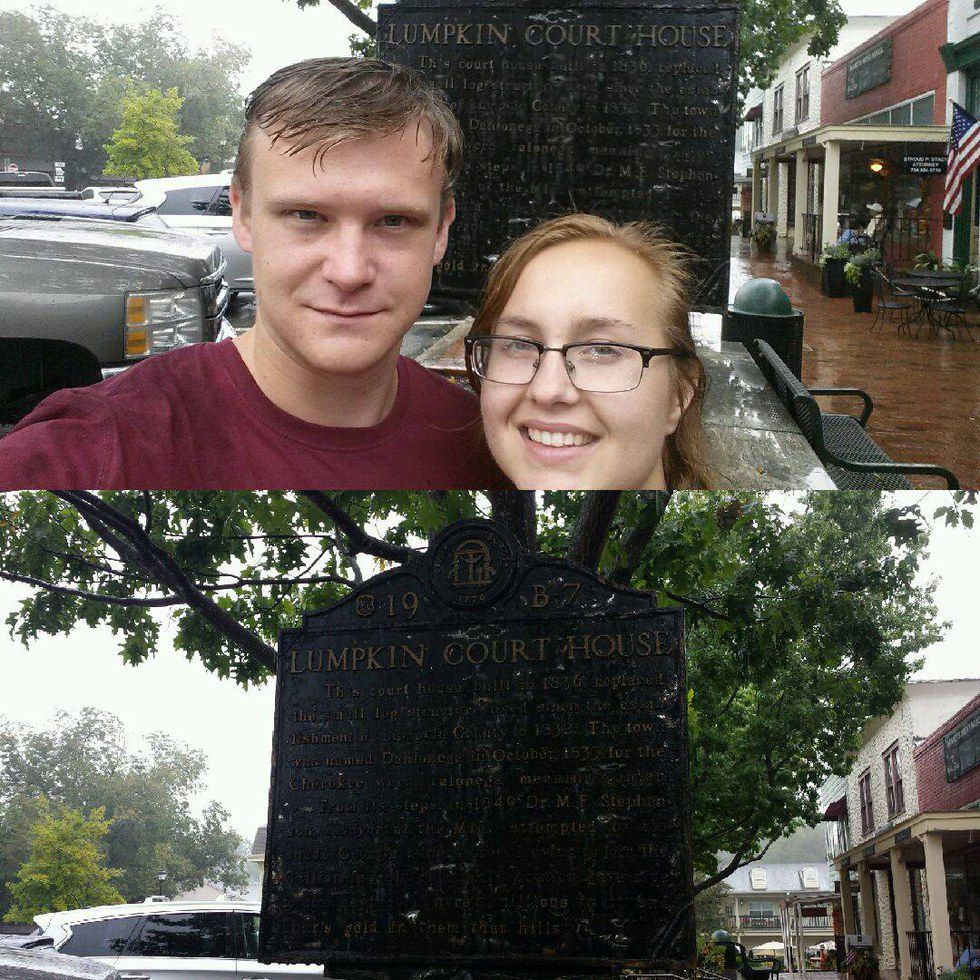
When it comes to dates, one can be very unoriginal with the selection process. My girlfriend and I went on what could be called the most perfect of dates that no one really knows to do. We are both students at the beautiful campus of UNG Dahlonega and have called Lumpkin County our home for the past three years now. I recently discovered numerous historical markers throughout the Dahlonega square. One very old one sits in front of the General Store.
I am a history buff and love uncovering forgotten history. I researched historical markers in Lumpkin County and found a series of thirteen markers. These markers are placed by the Historical Society. Last Sunday, Steff and I began our journey of finding and reading each historical marker in Lumpkin County. This journey would result in a great feat that only the most successful of couples can survive. Just a little disclaimer, participating in a historical marker hunt can be dangerous. There is a lot of unconventional parking on the side of the road and running across roads. If you and your loved one participate in this amazing date adventure, bring good shoes and possibly an umbrella if it is raining. In our case, it rained all day. However, rain made the adventure twice as adventuresome.
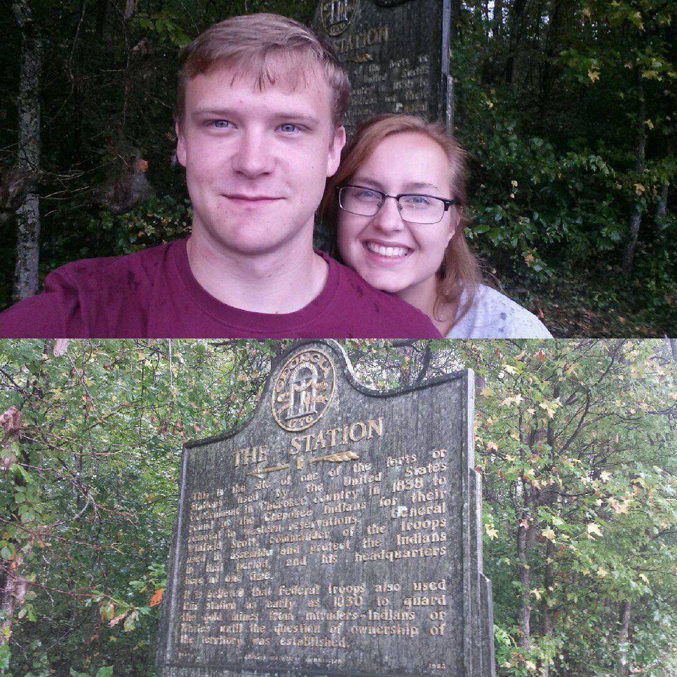
We began our journey departing Dahlonega and heading down to a once booming town of Auraria. Our first marker was found near a gas station. We had to turn around because we went too far, but we were able to find a safe place to park near the marker. The marker is called "The Station" and refers to an old station that was used to round up Cherokee Indians to move them to the west.
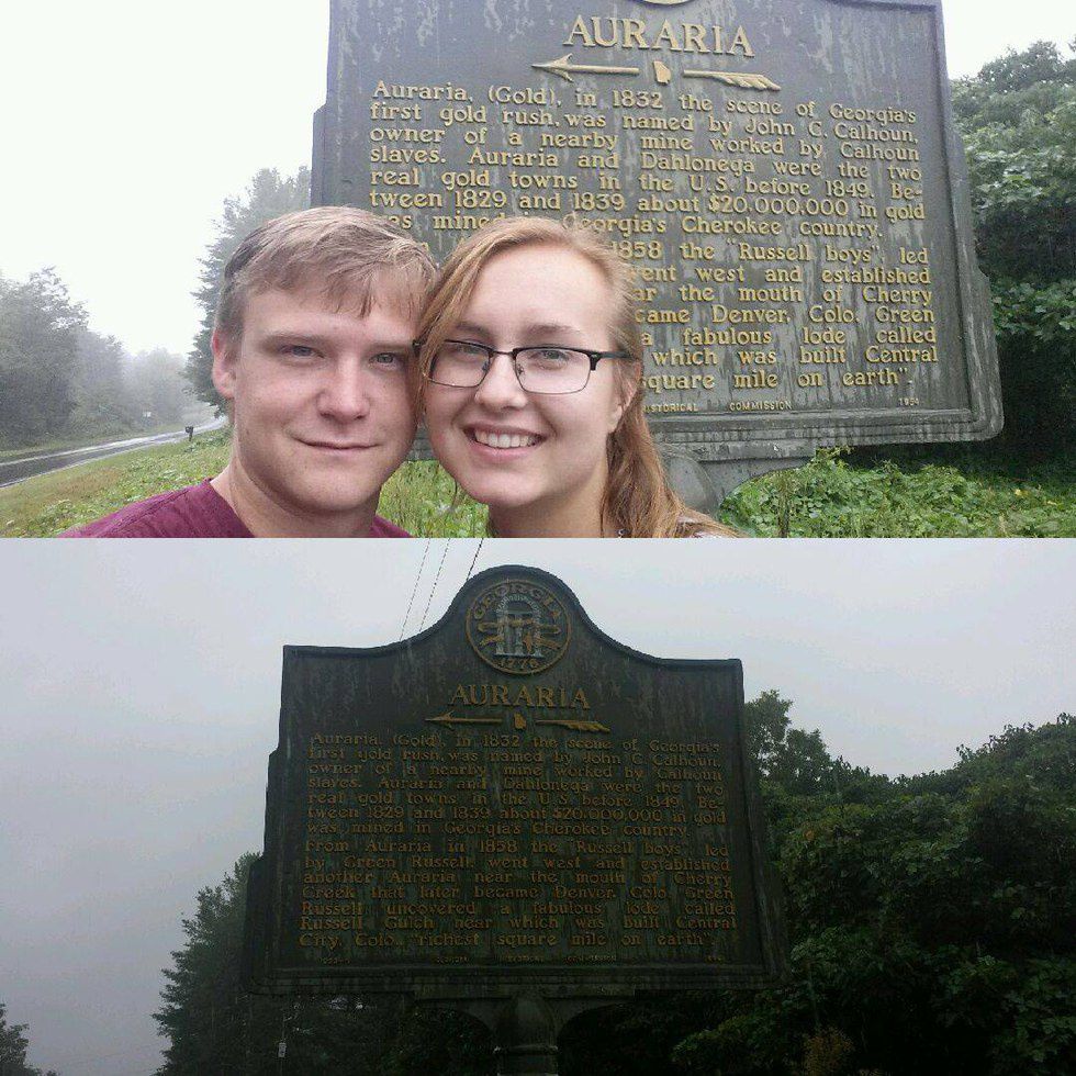
Our next marker was down the road and was titled "Auraria". The word Auraria means "Gold" and was home to Georgia's first gold rush in 1832. A nearby mine owner named Calhoun named the little town Auraria.
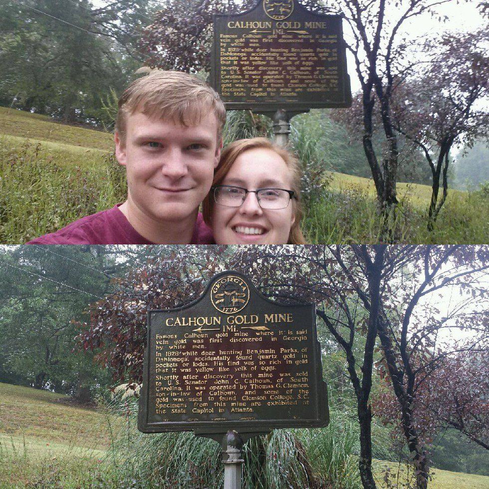
We continued on our road trip, making a huge loop to get back to US-19. Our next marker was once hidden by some shrubbery, but due to recent complaints on it not being visible, we were able to spot it quickly. This marker was titled "Calhoun Gold Mine" which speaks about a famous gold mine where the first vein was accidently discovered by a deer hunter named Benjamin Parks in 1828. This marker was hard to get to and required us to do some special maneuvering to get to it.
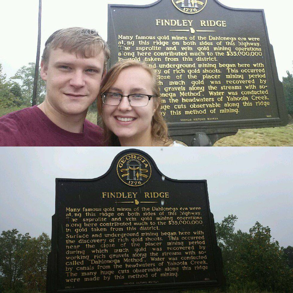
Next to the Shell Station entering the city of Dahlonega there is a historical marker titled "Findley Ridge." This marker speaks about the naturally formed gold veins that are formed along what is known as the "Findley Ridge." On both sides of the highway entering Dahlonega are where numerous gold mines were built. This discovery was able to produce $35 million in gold.
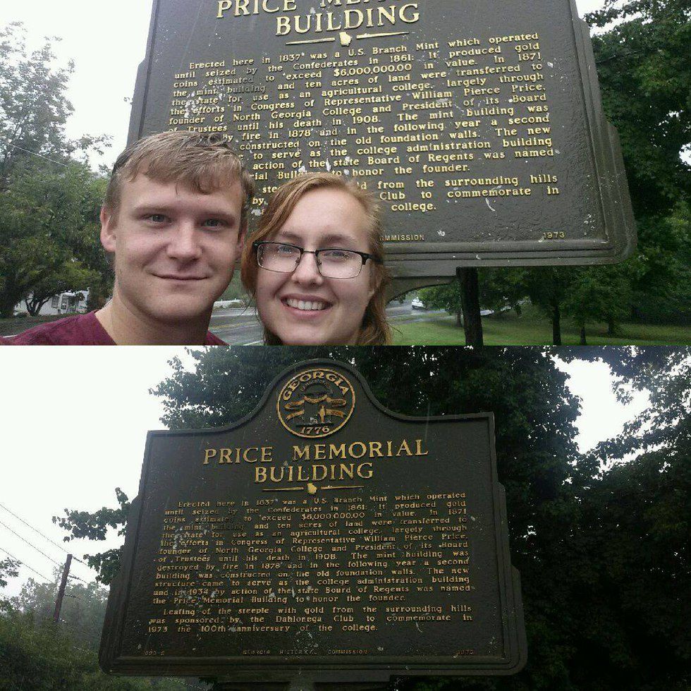
Students of the University of North Georgia are very familiar with the next marker. The Price Memorial Building has a rich history of being built on the foundations of the 1837 US Mint which produced over $6 million in gold coins. The US Mint burned down in 1878 after 7 years of being in ownership of a newly formed North Georgia Agricultural College. The gold on top of the building was placed there in 1973 to commemorate the 100th year anniversary of the university.
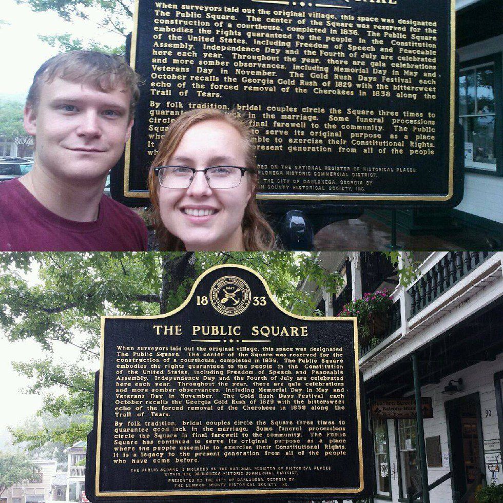
Our next stop was the public square of Dahlonega which features a courthouse that was built in 1836. The marker details about the history of the square and the events that take place within. It also speaks about a marriage tradition where bridal couples circle the square three times for good luck.
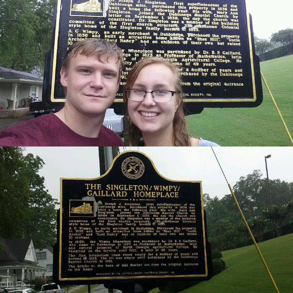
As you can tell in the picture it has been raining pretty hard at this point. Our next marker is known as "The Singleton/Wimpy/Gaillard Homeplace" which took us back in time to when there was a building here. It sheds light on what used to stand where the Dahlonega Baptist Church stood. The colonial style building burned down in 1855 which, in 1856, was purchased by A. Guy Wimpy who built his home on site. He and his wife raised over 10 orphans.
In 1900 the famous Professor Gaillard purchased the home while serving as a professor of mathematics, latin and natural science at NGAC. The building stood untill 1963 when it burned down. The DBC purchased the lot in 1991. The cool part to this marker was that at the base was a collection of bricks that were a part of the original entrance to the home.
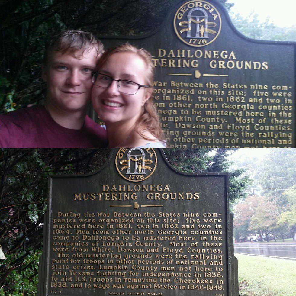
Our next marker was called the "Dahlonega Mustering Grounds" which spoke about the place where nine companies were organized to fight in the Civil War, wage war against Mexico in 1846-1848, and to aid US troops in removing the Cherokees in 1838.
Before heading to lunch on the square, we stopped by a very ancient looking marker that talks about the "Lumpkin County Courthouse." Built in 1836, the new courthouse has traces of great history within.
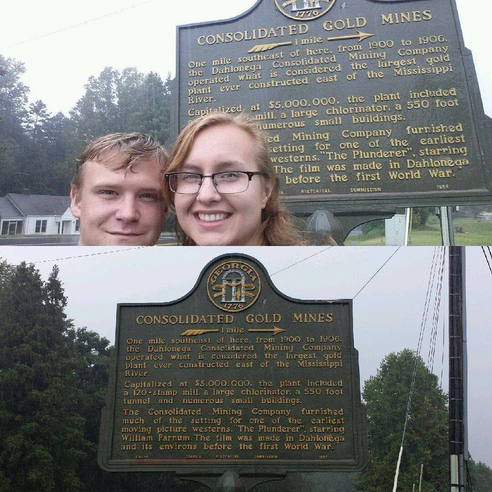
Near Walmart in Dahlonega is a marker that talks about the Consolidated Gold Mines, which were the largest in Georgia. The mines ran for six years and included a 120 stamp mill and a 550 foot tunnel.
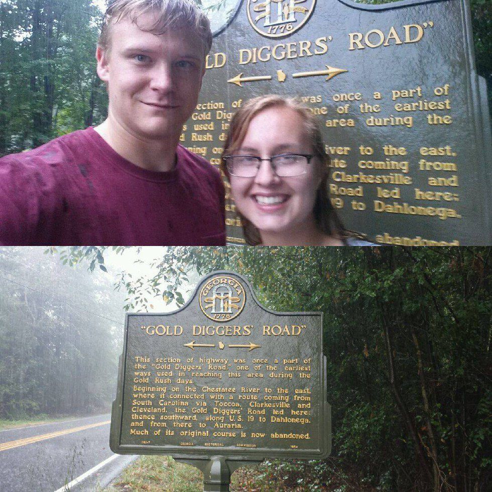
At this point in the journey the rain had us completely drenched. We headed up US-19 to find the next marker. It came on to us too fast so we had to turn around to park at a nearby gas station. The marker explains how this highway was known as the "Gold Digger's Road." The road connected the gold cities of Dahlonega and Auraria all the way to South Carolina.
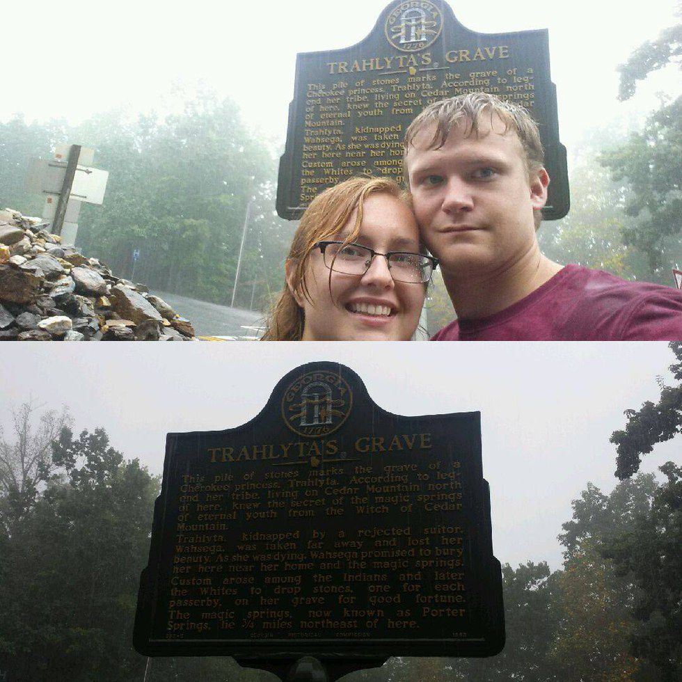
The next marker was found in the intersection of US-19 and GA-60 where an ancient Native American burial site is located. This marker was titled "Trahlyta's Grave" which talks about the legend of a Indian princess that knew the secret of the magic springs of eternal youth from the Witch of Cedar Mountain. She was kidnapped by a rejected suitor and lost her beauty as she was taken far away from the springs. As she was dying, her suitor promised to bury her near her home land. Today the burial site can be overlooked as just a pile of rocks. It is tradition that passersby would drop stones on her grave for good fortune.
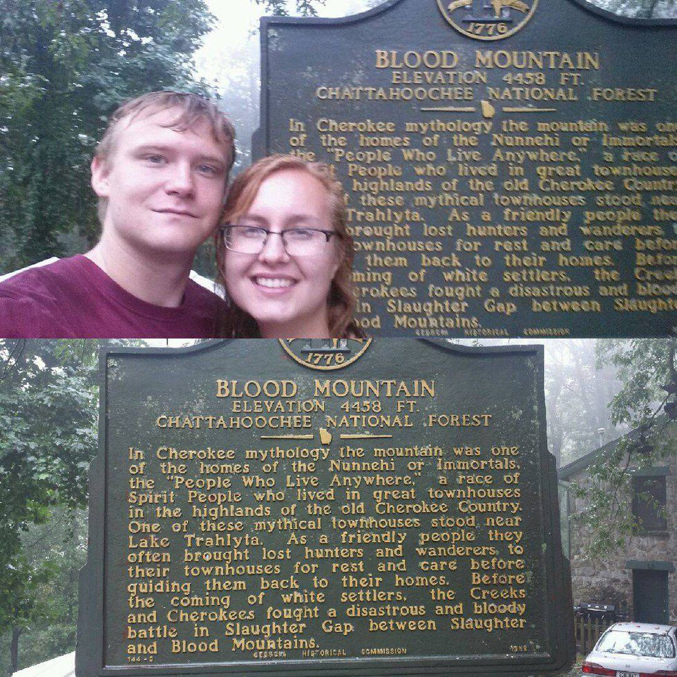
Our final and last marker was found at the top of US-129 at an old historic inn that is now called Mountain Crossings. The marker is called "Blood Mountain" and talks about the nearby mountain's legend. It was told that the mountain is home to the immortals, a race of spirit people. They would take in lost hunters and wanderers to their townhouses for rest and care before guiding them back to there home. The Creeks and Cherokees also had a devastating and bloody battle in Slaughter Gap between Blood Mountain and Slaughter.
This was one of the best dates we have ever done because it involved us searching for history, running across roads, parking at random places and just having a high thrill of the chase. We even ended our trip at Vogel State Park where the most beautiful of sceneries can be experienced aroudn Lake Trahlyta.


