With technology seeming to take over the world, we often turn to the outdoors as an asylum from our TVs, computers and smartphones. However, with current technology, smartphones have actually become an extremely useful tool for any outdoors person. Whether you want to hike, surf, run or anything in between, there’s probably an app for it. Different apps are tailored to different activities, but here are nine apps (in no particular order) I’ve found most useful.
1. Map My Ride
The name gets straight to the point. This app provides GPS tracking for any run, hike, bike or walk you plan to attempt. The app also provides info like calories burned, elevation of your route, distance traveled, pace, and more. Once you’ve completed a new route you can save it so that other users are able to view it. Likewise, you can view other users pre-existing routes. It also has a website so the information from your phone can be found directly on your computer.
2. What Knot to Do
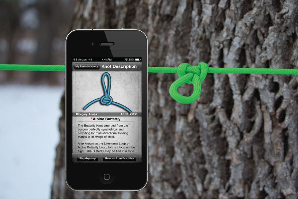
For someone like myself, who is terrible at tying knots, this app is a God-send. Thank you Columbia Sportswear for making this wonderful piece of technology. You can search for knots by name, activity or category, with over 70 different knots that feature step-by-step illustrations.
3. The Clymb
I discovered The Clymb my senior year of high-school and have never looked back. It has the most unbelievable deals on all ranges of outdoor gear. This site offers camping gear and equipment, nutrition items, snow sports, water sports, skates, and bikes. Though the prices are already ridiculously low, referring a friend will get you $10 off once they make their first purchase.
4. PeakFinder
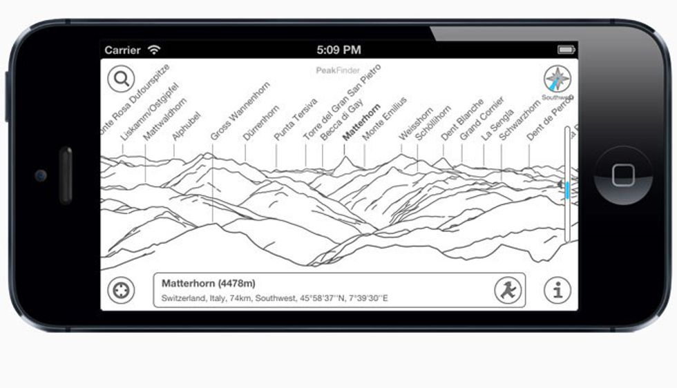
Do you want to seem knowledgeable of the local terrain but you’ve never set foot on a mountain (which is weird by the way)? Fret not my friend. PeakFinder gives you access to information on over 250,000 peaks. You just point your camera in a certain direction and the screen will show you the names of all the peaks in your view, as well as their distance and elevation.
5. Trover
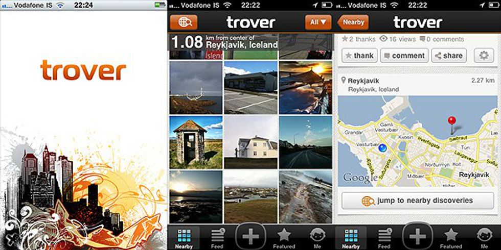
Trover is an awesome app to connect with other travelers, draw inspiration and share your adventures. With geo-tagged photos, Trovers around the globe has been able to create a network of entertaining activities and eccentric locations, providing informal guides to exotic locations.
6. Cairn
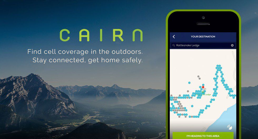
They say safety first, and Cairn is one app that certainly makes that a priority. It gets information from all of its users to locate what areas on a map are able to get signal, allowing you to plan ahead for times when you can use your device, or where to head in an emergency. All the while it logs your location, which, combined with the ability to create a trip plan, can send messages to your emergency contacts if something goes awry.
7. SkyView Free
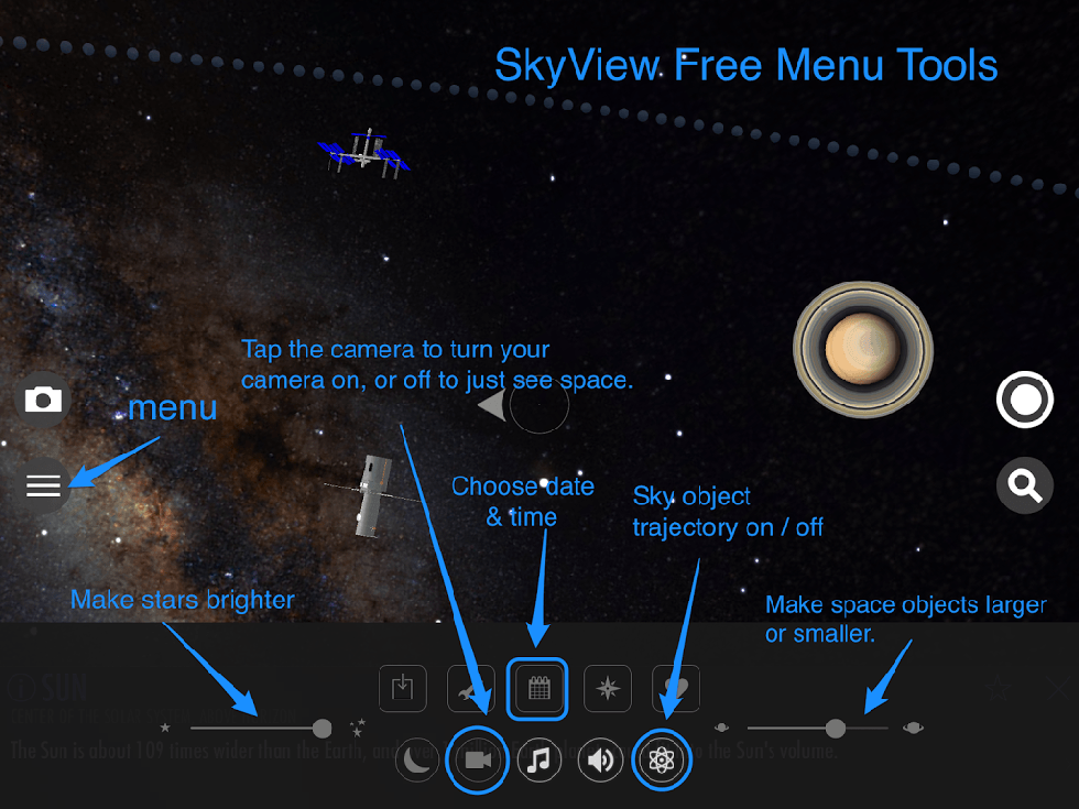
Remember that time you could just look up at the sky and name all of the constellations? Yeah me either. No worries though, SkyView has you covered with stars, constellations and satellites all at your fingertips. So get out there and get to stargazing!
8. Chimani National Parks (US)
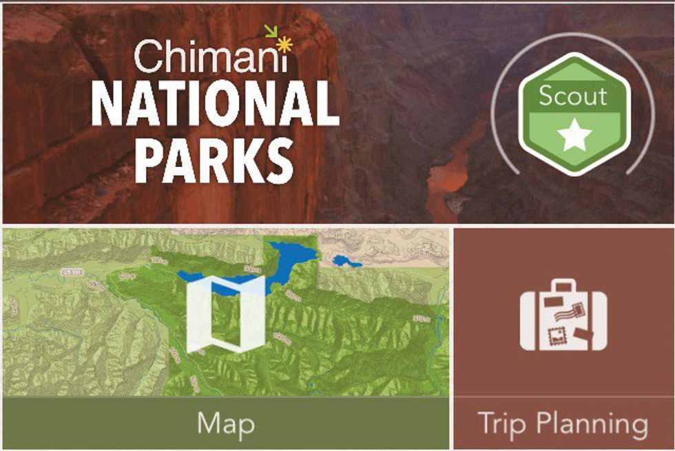
Chimani is an app developed specifically for all 59 US National Parks. Similar to PeakFinder, Chimani lets you see all the features that are in your view. It includes maps, photos, reviews and other features that will make your visit to Yosemite easier to plan.
9. AllTrails
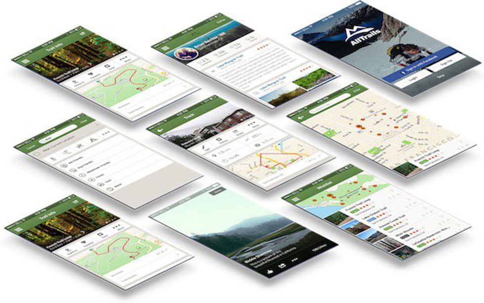
Going off the grid? No worries! This app allows you to save maps with topographical info for offline usage. With over 50,000 trails, you’ll have more options than you know what to do with. Luckily the reviews and on-trail pictures will help you choose the best hike for you!
Now go out and explore!


