If you have a friend who’s moved far away, then you know two things: you’re dearly going to miss them until they come home, and now you have a great opportunity to visit them wherever they are. One of my longtime friends, Demi, moved to Tempe, Ariz. this last fall, so I decided to fly out to visit her, as well as to take a drive upstate to the Grand Canyon. This is our 48 hour road trip in ten stages:
1. Getting There
Demi and I had only a rough plan of our trip when I flew into Phoenix Sky Harbor. After going over the logistics of our options and budget, we decided to reserve a ZipCar, and stay at a cheap hotel in the Flagstaff area. We also purchased an Annual Pass from the National Park Service, which granted us access to multiple parks along our route and saved us from spending money on entry to each individual site. Our intent was to see some great stuff in a short amount of time on a small budget; so while this is a good list of what’s on the way, it is not exhaustive of all that can be seen.
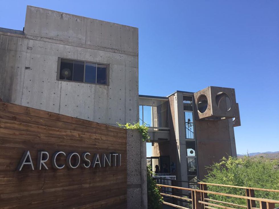
2. Arcosanti
We left Phoenix around 10 a.m. and headed northbound on Interstate 17 toward an experimental living town called Arcosanti. We knew little about the place except that we heard it was a recommended must-see. On arrival, we walked up and down several floors of a very geometric and neutral colored building. The town is home to a community of people with beliefs in sustainability through the use of arcology, which is essentially architecture designed in adaptation to the environment. Without a guide, we could only venture on the visitor’s trail, but it was easy to get a good sense of what these people are about.
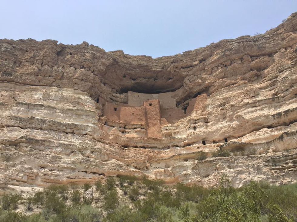
3. Montezuma’s Castle
I had seen pictures of this still standing “home-in-the-wall” before realizing it was on the way of our road trip, so I was quick to mark it on the map. Once inside the park, which is right off the interstate, we were greeted by a park ranger, Sam. This wonderful man could tell a story forever,and he’s been alive over 80 years to learn how to tell a good one. He informed us about the matriarchal society of the tribe who had built their home in the depression of this cliff. All materials were carried here, whether it was clay, water or wood to build the cement walls of the home centuries ago. It amazes me what people are capable of.
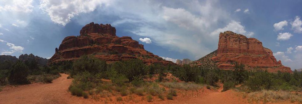
4. Red Rock Country
On the way into the Sedona, along highway 179, we quickly approached the large, red and heighty sight of Bell Rock. The landscape in this area is stunning-- you can see the vibrant red hues of the many layers of sediments that give the rocks their name. Off of the highway, we were able to pull into a parking lot designated by the National Forest Service, which allowed us to leave the vehicle behind and walk up close to the red giants. The paths actually takes you all the way around Bell Rock while being surrounded by a variety of vegetation, including cacti with bright yellow flowers.
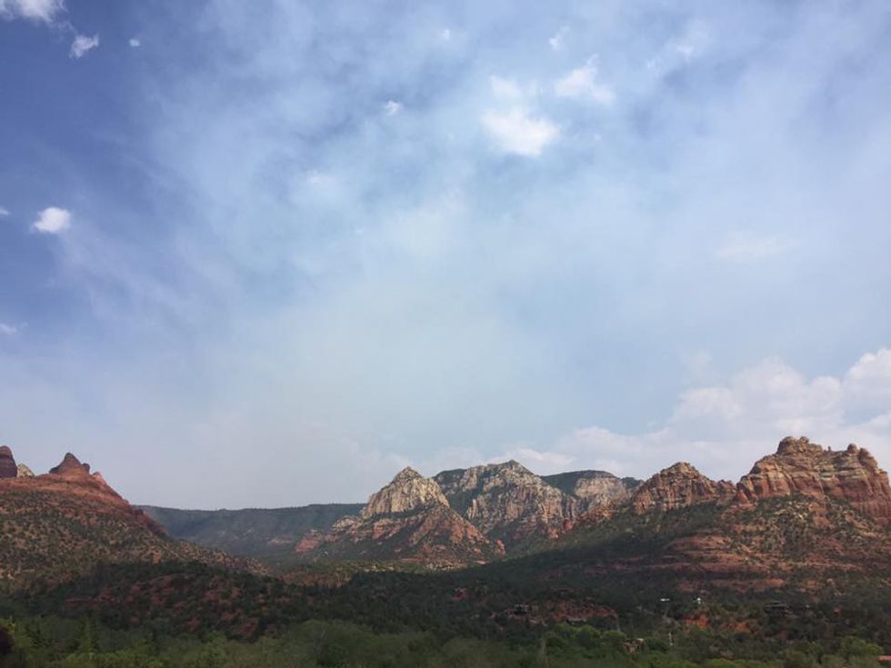
5. Sedona
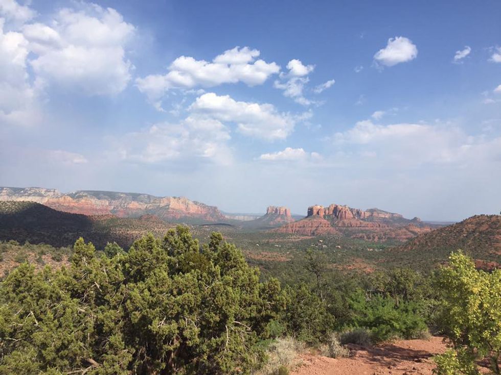
On the right side of the highway into uptown Sedona, you can see a panoramic view of the city’s red rocks. This backdrop falls along the whole valley, and we found it to be best seen at the top of Airport Road. The short drive will take you up by Sedona’s local airport where there is a public parking lot for you to get out and see the view. There are also trails where you can hike to another viewpoint showing the other half of the valley.
6. Oak Creek Canyon
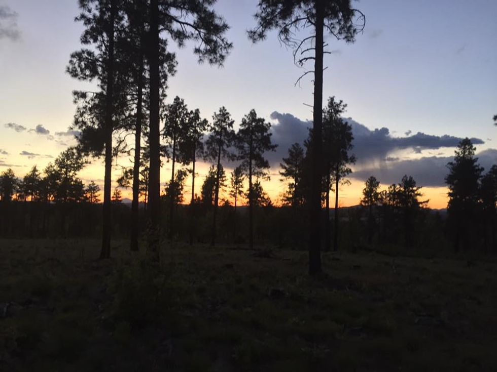
This is a place I wish we could’ve lingered in for longer. A local from Sedona told us the sunset was best to watch by driving up a little bit on Highway 89, which winds through Oak Creek Canyon itself. The cliffs rise up high above you as the road twists about, and the view is certainly amazing. Unfortunately, we passed through the area before sunset, and when the sky was setting, we drove faster to reach a spot where we could see the end of day. We took a dirt road off the highway upwards for about 30 minutes before reaching the top of a mountain where we could see the sun go down on the other side of the canyon.
7. Sunset Crater Volcano
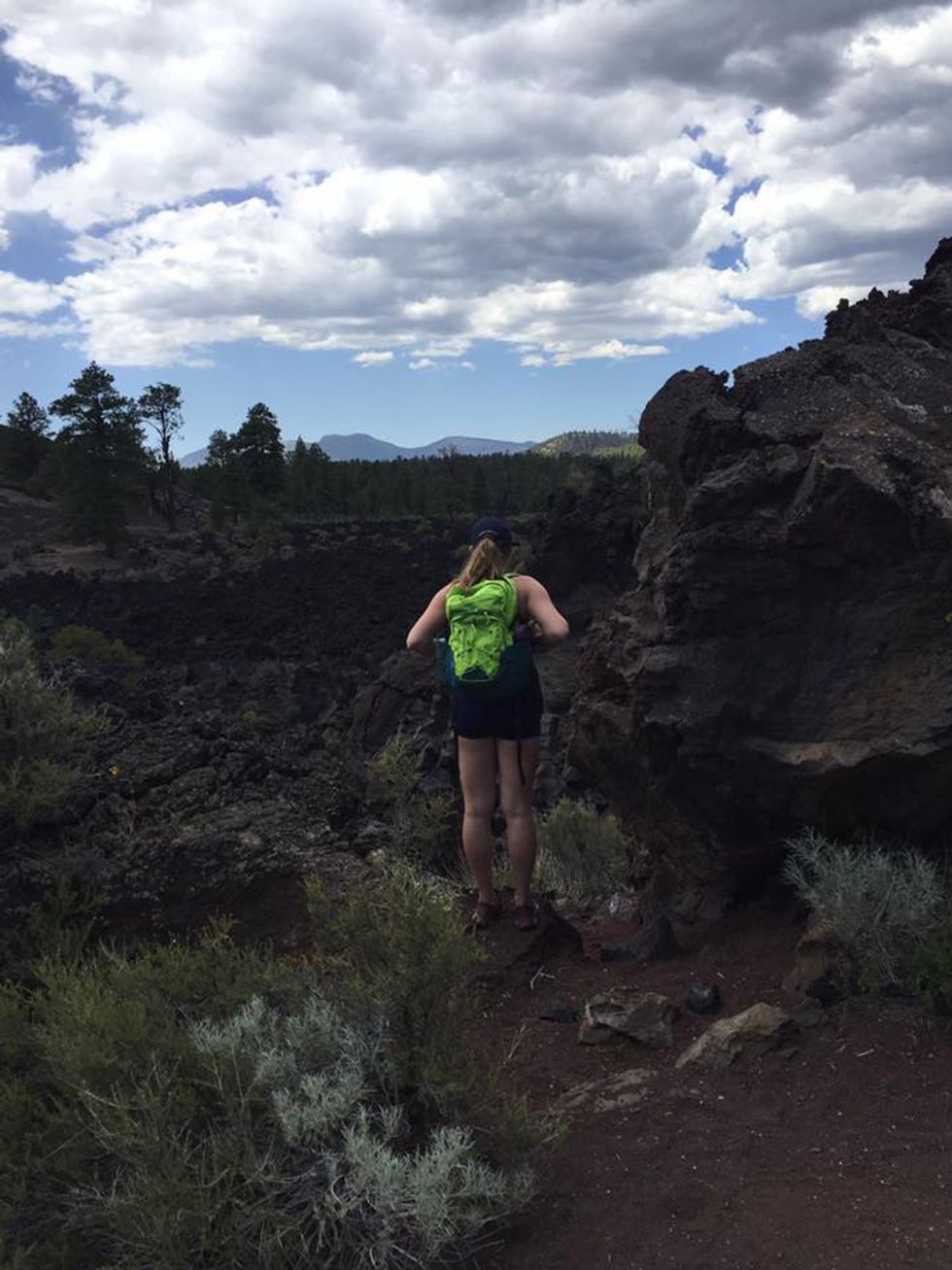
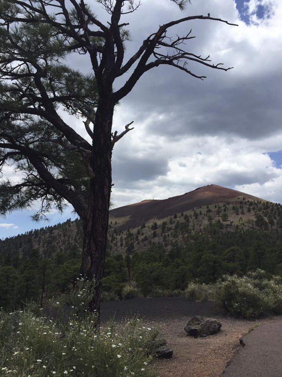
I wasn’t expecting to enjoy this place as much as I did. About a mile after turning into this park, off of Highway 89 past Flagstaff, we were greeted by a large expanse of land that allowed us to see both Sunset Crater and Humphrey’s Peak in the same view. The crater volcano lies dormant today, but a majority of the park contains the hardened and rocky remains of the Bonito Lava Flow. Demi and I had never seen what a lava flow looked like after hundreds of years, so it was very cool to walk over the rocky and porous remnants and sandy lava sediments. The park has a nice path called the Lava Flow Trail, which provides both paved and off-path places to walk. The road to Cinder Hills overlook also brings you closer to Sunset Crater and gives a view-from-above of the rest of the park.
8. Wupatki Pueblos
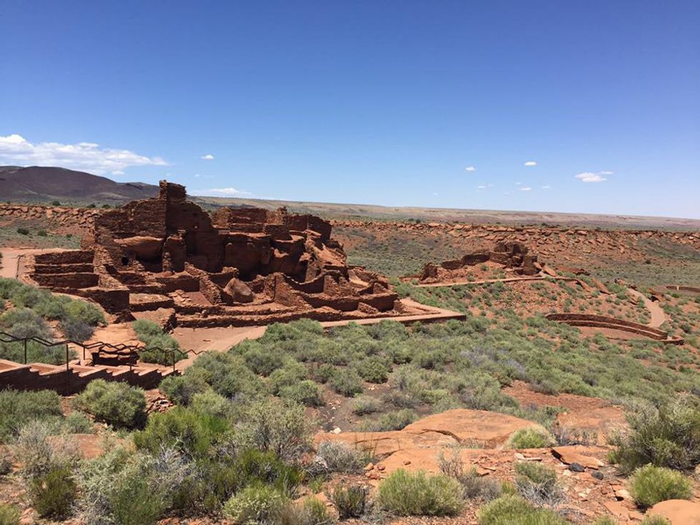
Leaving Sunset Crater and down Loop Road about 18 miles, the landscape dramatically changes from hills and dark lava rock to rolling plains of green shrubs and glimpses of red sediments known to this area. The Coconino National Forest takes up a good portion of Arizona, including the Grand Canyon, so it’s no surprise to find big changes like these while staying in the park. Once settled in the park’s land were indigenous peoples, of whom built and lived in the pueblos whichhave been preserved in this area. Due to a time crunch, we only walked about the Wupatki Pueblo, which housed a whole community dating back to roughly 1,000 years ago. From the walking guide they give you at the visitor’s center, you can read all about the layout of the settlement, which included an open community room and a ball court.
9. Grand Canyon
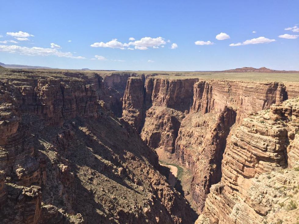
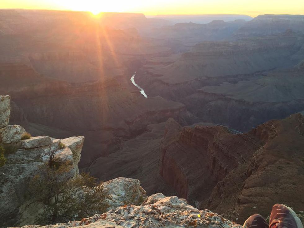
This was the main destination of our trip, so we spent over half of our second day here. I think it’s important to acknowledge this park is very “grand” indeed, and it would’ve been more appropriate for us to visit for longer. On the way to the canyon’s park gate from Cameron, there are several scenic places to stop along Highway 64. We stopped in what’s called “Tuba City” on my GPS to see what looks like one of the ends of the eastern part of the canyon. After about another 20 miles down the road, and immediately inside the park’s gate, we took a right to park by the watchtower, which is a great spot to peak at the Colorado River. Before hitting the Grand Canyon Village, there are other outlooks you can see by car, including Navajo and Yavapai points. Other more desired places along the canyon are limited to shuttle access only. We parked in the village, and then walked along Rim Road after grabbing some ice cream toward the shuttle bus pick-up. A woman working at the visitor store said Mojave Point was the best place to watch sunset, and so there we went. Demi stayed back behind the railing, and at my own risk, I slowly stepped out to the farthest point I saw reachable. I’ve learned through my travels that going beyond boundaries makes for the best experience, or on this occasion, the best view.
10. Getting Back
After sunset, we decided we would try to make it back to Demi’s apartment three hours away in Tempe. After about an hour of driving, I got super drowsy, and we pulled off in the town of Williams along Historic Route 66. Being cheap college students on a budget, we parked in public parking and attempted to sleep in the car. A couple hours and a 40 degree temperature drop later, we woke up at 6 a.m. and hit the road again, taking Highway 64 to Interstate 40 to Interstate 17 straight back to the Phoenix area. We made the trip in roughly 48 hours. If you're interested in reading more about these areas, here's some helpful links with info that I used for my own trip:
http://www.arizona-leisure.com/phoenix-to-south-ri...
https://www.tripadvisor.com/ShowTopic-g31310-i140-...
http://intransit.blogs.nytimes.com/2008/03/13/driv...
http://grandcanyon.com/news/avoid-long-lines-parks...


